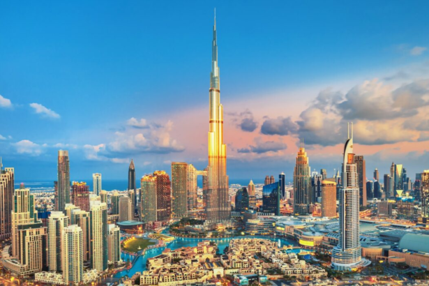

The Dubai Roads and Transport Authority (RTA) has officially moved forward with the Dubai Metro Blue Line. This massive infrastructure project aims to transform how residents move between the city’s most populated residential and commercial zones. Spanning 30 kilometers, the new line connects the existing Red and Green Lines, creating a more integrated public transport network. Once operational, the Blue Line will serve approximately 200,000 passengers daily, providing a reliable alternative to the city’s crowded highways.
The project is a central part of the Dubai 2040 Urban Master Plan. By expanding the rail network, the RTA expects to take thousands of cars off the road every day. This reduction in vehicle volume is essential for a city experiencing rapid population growth. Commuters currently facing heavy delays on Sheikh Mohammed bin Zayed Road and Al Khail Road will see the most significant benefits as the rail line offers a direct bypass to these traffic bottlenecks.
Dubai Metro Blue Line Stations and Route Map
The Blue Line features 14 stations, including both underground and elevated stops. The route starts at the Creek Station on the Green Line and extends through Dubai Festival City and Dubai Creek Harbour. It then continues toward International City, Silicon Oasis, and Academic City. These areas are currently underserved by rail transport, leaving residents reliant on buses and private vehicles. The addition of these stations will link these key educational and residential hubs directly to the rest of the city.
Two of the new stations will be “transfer stations,” allowing passengers to switch between the Red and Green lines seamlessly. This design reduces the need for long bus transfers and simplifies the daily commute for thousands of workers. The RTA has also confirmed that the line will feature the first-ever metro bridge crossing the Dubai Creek. This bridge will be 1,300 meters long, offering a iconic view of the city skyline while serving a critical transport function.
The most immediate advantage for residents is the drastic cut in travel times. RTA officials state that the journey between key points on the Blue Line will take between 10 to 25 minutes. Currently, those same trips can take over an hour during peak traffic periods. By providing a fixed-schedule rail service, the Blue Line allows commuters to plan their days with much higher accuracy.
The economic benefits of the project extend beyond simple time savings. Property values in areas like International City and Silicon Oasis are expected to rise as accessibility improves. Better transport links typically attract more businesses and retail developments to these neighborhoods. This project is projected to deliver an economic return of over 56 billion Dirhams by 2040 through increased productivity and reduced fuel consumption.
Dubai 2040 Urban Master Plan Goals
The Blue Line aligns with Dubai’s goal to become a “20-minute city.” This concept aims to ensure that residents can reach 80 percent of their daily needs and destinations within 20 minutes by foot or public transport. The city reduces its carbon footprint and promotes a more sustainable urban lifestyle with this expansion. The new trains will use advanced energy-saving technology to minimize their environmental impact.
Construction is moving forward with a focus on minimizing disruption to current traffic flow. The RTA is using advanced tunneling machines to build the underground sections in densely populated areas. As Dubai prepares for a future with more residents and visitors, the Blue Line stands as a critical pillar of the city’s infrastructure. It ensures that the city can continue to grow without being choked by traffic congestion.